
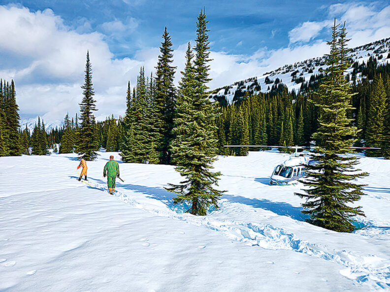
To measure the snowpack near Hart’s Pass in Washington’s North Cascades, Toby Rodgers first boards a helicopter at the Skagit Regional Airport for a 40-minute flight. After the pilot lands in the rugged terrain, he straps on his snowshoes to trek to the sampling site.
In early April, Rodgers (’00 MS Soil Sci.) measured near-normal snowpack levels at the site above 6,000 feet—an anomaly after the Northwest’s warm winter.
“I was standing on 100 inches of snow—more than eight feet. The depth was startling because of all the bare ground we flew over to get there,” says Rodgers, a water supply specialist for the USDA’s Natural Resources Conservation Service.
The state of the snowpack is a multibillion-dollar question for the Northwest economy and its quality of life. The answer determines how much water is available to generate hydropower; irrigate high-value crops like apples, cherries, and potatoes; fill reservoirs for summer recreation; mitigate wildfire risk; and sustain culturally important fisheries like salmon and steelhead.
Rodgers, who is based in Mount Vernon, is part of a network of government employees who track the snowpack’s water content across the western United States through manual and automated snow sampling.
Washington State University researchers are studying how artificial intelligence’s predictive qualities could augment their work. Modeling by the researchers suggests AI could help fill in gaps in snowpack and streamflow data and also improve forecast accuracy during “snow droughts” like the past winter, when mountain precipitation fell as rain instead of snow.
The research is part of the university’s AgAID Institute, which is deploying AI to tackle some of agriculture’s biggest challenges, including water availability.
“Here in the Northwest, most of our watersheds are snowmelt driven. Depending on the area, 50 to 70 percent of the streamflow could be generated from melting snow,” says Kirti Rajagopalan, associate professor in WSU’s Department of Biological Systems Engineering. “Water is a scarce resource, and we manage it for multiple competing uses.”
Measuring snowpack in the West dates to the early 1900s, when a professor at the University of Nevada, Reno, cored snow in the Sierra Nevadas with a hollow tube. By weighing the tube, James E. Church could calculate the snow’s water content. He worked with engineering faculty to develop the first water supply forecasts for the Lake Tahoe area.
During the Dust Bowl, farmers lobbied for better streamflow forecasting. Congress provided the first federal funding in 1935 for snowpack surveys. Church’s methodology—already adopted in other basins—went into widespread use.
For decades, measuring the snowpack was a laborious process that required winter survival skills. People skied, snowshoed, and snowmobiled to remote sites to collect and weigh snow samples. By the 1970s, however, automated snow telemetry stations were providing hourly readings on snow depth, temperature, precipitation, and relative humidity.
Washington has 77 automated sites, but Rodgers and other federal employees and partners still manually check about 50 sites each winter. “We’re ground-truthing what’s happening with the snowpack,” he says.
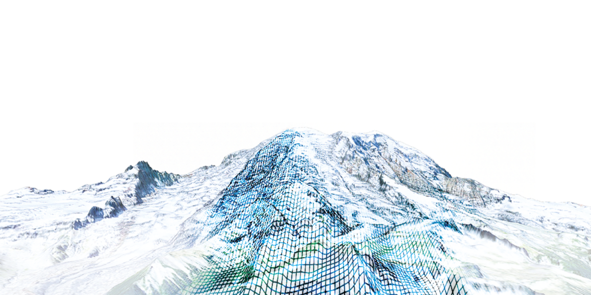
AI shows promise as another breakthrough tool for estimating snowpack, streamflow, and water availability, say WSU researchers, who’ve published models based on 25 years of snowpack and streamflow data at more than 500 locations across the West. The researchers integrated biophysical models with AI’s machine learning to achieve high accuracy rates for streamflow estimates.
“If you’re only using AI for streamflow modeling, you’ll get results that aren’t scientifically sound,” says Rajagopalan, a coauthor of the study, who worked with computer science faculty and students on the model. “AI tends to be really good with predictions, but we need the physical processes that drive hydrology to generate results that obey the laws of math and physics.”
Used with existing data, AI-enhanced hydrologic modeling could offer a more complete look at how much snow-water the mountains hold, she says.
Some 800-plus stations throughout the West collect snowpack information. They’re strategically, yet sparsely located at mid-range elevations in remote locations.
Even within a small geographic area, the snowpack can vary, Rajagopalan says. Adding datasets that depict features like terrain, vegetation, and prevailing winds to AI modeling can produce a better understanding of conditions within watersheds.
WSU researchers are also working on refining their modeling to describe the range of uncertainty in water forecasting for water users.
During drought years, for instance, irrigation districts need to know how their water allocations could fluctuate, Rajagopalan says. Understanding the level of uncertainty in forecasts helps irrigators plan for different scenarios, such as purchasing additional water or leaving fields fallow.
The next steps are for WSU researchers to work with state and federal water resource agencies to test the AI models, while WSU economists evaluate their usefulness to growers.
Rajagopalan anticipates that the modeling will prove its worth over time. In a warming climate, more winters will be like the last one—where watersheds accrue a fraction of their historic snowpack levels. Forecasting future water supply is more challenging when precipitation falls as rain instead of snow.
“When we transition to rain-dominant watersheds, we expect our forecast accuracy to decline,” she says. “But if we can improve the forecasts with AI, perhaps we can restore some of the accuracy.”