Over 500 streams and rivers (and thousands of other inflows) enter Puget Sound. Here are four that you can view close-up as they make their way into the second largest estuary in the United States.
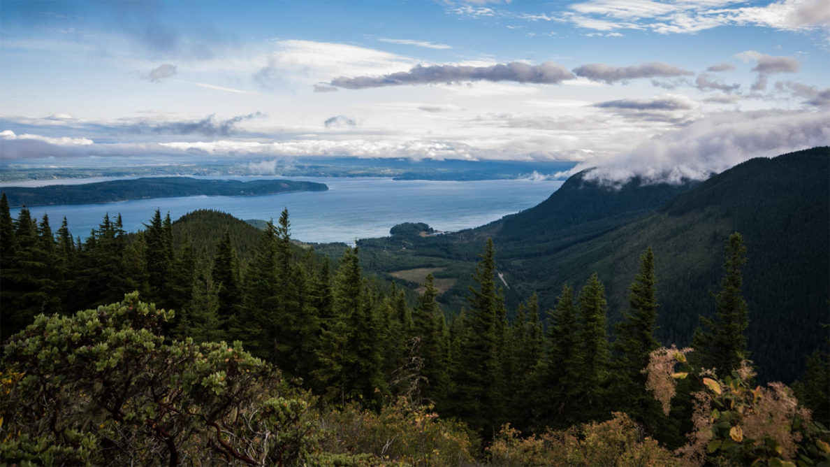
Clear Creek
Clear Creek in Kitsap County is a major stream system flowing into Dyes Inlet at Silverdale. It had, over years agricultural and then urban development, lost its floodplain, resulting in increased flooding, erosion of roads and trails, and degradation of salmon populations. The Clear Creek restoration project removed 1,500 feet of an existing road, replaced and upgraded two aging culverts, created 500 feet of new stream channel and restored up to 30 acres of stream floodplain and riparian habitat.
View aerial footage from its main branch origins into the restoration area, and its eventual flow into Dyes Inlet:
Video by Jeff Marsh
Chimacum Creek
The east and west branches of Chimacum Creek in Jefferson County flow through Center (west) and Beaver (east) valleys. This original salmon habitat was spruce-cedar bog conditions with beaver ponds, vast forests, wetlands, and side channels. The forest, however, was cleared, and the creek ditched and straightened to drain the land and increase the available area and productivity for agriculture. By the 1960s, 90 percent of the salmon population was gone. Today, after many efforts to save, protect, and restore native salmon populations and their habitat in Chimacum Creek, salmon numbers are coming back.
View aerial footage from from Delanty Lake through Center Valley to its entering Port Townsend Bay:
Video by Jeff Marsh
Picnic Point Creek
Picnic Point Creek in Snohomish County originates in an area between Paine Field airport and Lake Serene. It flows for almost three miles to the west to Picnic Point Park where it empties into Puget Sound.
More information at the Washington Trails Association
View detailed mapping of the stream by Streamkeeper.org
Longfellow Creek
Longfellow Creek is one of the four largest streams in urban Seattle. The creek emerges at the 10,000-year-old Roxhill Bog in West Seattle and flows north for about 3.4 miles through the valley of the Delridge neighborhoods, emptying into the Duwamish Waterway. Salmon, absent for 60 years, began returning without intervention as soon as toxic input was ended and barriers were removed. Storm-detention ponds, recreation areas, and an outdoor-education center have been added along the stream.
Here is a collection of Longfellow Creek photos in a Pinterest gallery.
Fly over Longfellow Creek from its origin to its confluence with the Duwamish River Waterway in this video compiled from Google Earth:
You can also trace the path of Longfellow Creek through West Seattle with this highlighted Open Street map. (Click on map for larger view.)