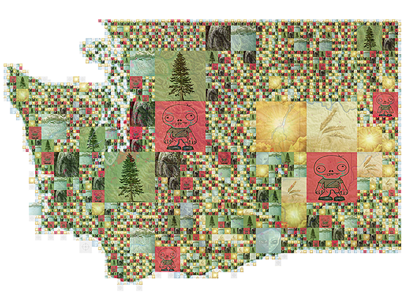
If avoiding zombies is high on your list of priorities in Pullman, you’ll want to steer clear of the Stephenson Towers and the Rogers and Orton residence halls. Wilmer/Davis and Community/Duncan Dunn are pretty dodgy, too.
If you have trouble deciding which you prefer to see, a Sasquatch or aliens, you stand to see plenty of both on the western sides of Snohomish, King, and Pierce counties, particularly Pierce County.
This is no idle musing. This is documented and illustrated research, cast into readily viewable and interpretable form through the wonders of Geographic Information System technology, or GIS. For 18 years now, Washington State University’s GIS coordinator, Rick Rupp, has been guiding hundreds of students and other scholars through the joys of mashing up seemingly disparate data sources and viewing them on a map.
“You can take data from completely different sources and the only thing they have in common is they occur on the same point on the face of the earth,” Rupp says one afternoon as students churn away in Johnson Hall’s GIS computer room. “You can draw some really interesting conclusions based on that. It allows you to compare things you never thought you could compare before.”
It’s powerful stuff, so much so that Rupp cautions students to keep things simple, to “aim for communication, not complexity.” It’s ok to bend reality a bit as a classroom exercise, which explains how zombies and aliens end up getting a seemingly scientific treatment. Outside the classroom, most any researcher can put GIS to use. As Rupp tells his students early in the semester, he once sat at a GIS conference between a person who helped refugees and a captain in the Spanish army.
“They’re all using the same tools,” he says.
Walking around the room, Rupp points to poster upon poster showing the nearly limitless reach of data imaginatively mapped.
“A lot of our coursework, both at the undergrad and grad level, depend directly or indirectly on this man’s contribution,” says Mark Swanson, an associate professor in the School of the Environment who happens to be using one of the room’s computers. “The wildlife faculty and the crop and soil sciences faculty run a lot of programs through this room. Don’t let him undersell his program.”
He doesn’t. Here’s just a quick and partial sampling of posters hung and stacked around the room: Native American populations and population densities around the state, by county; distressed home values around Puget Sound in 2011; places in the United States that receive the most nitrogen-laden rain; U.S. places with the most pathogen-impaired water bodies; Gulf of Georgia archaeological sites and nearby salmon and herring waters; the two-month, 500-mile journey of a young wolf as he leaves his pack in Central Washington for British Columbia.
Rupp comes upon a poster about a “wolf-howling survey” in central Italy’s Majella National Park and summons its author, doctoral student Azzurra Valerio, to come over and explain.
Data for the map came from teams that traveled around the park and howled, she says. Unlike adult wolves, wolf pups can’t tell a human howl from a wolf howl, so they howl back. Researchers could then pinpoint the locations of the howls to count more than two dozen home sites throughout the park.
“The first time was a revelation,” says Vallerio, “because we didn’t have so many data about the wolf population in that territory.”
Across campus in College Hall, anthropologists are using GIS to look back in time, to the pueblo dwellers of the pre-colonial Southwest.
For her master’s thesis, Stefani Crabtree, a doctoral candidate, connected archaeological sites with why people were there and what they were doing, running computer simulations in which “agents”—proxies for people—walk around the landscape and exchange food. Different simulations showed different relationships.
“My program helped find clusters on the landscape in the archaeological record as well as in the simulation,” she says, “and I could directly compare how clustered those were and talk about what was going on during those times.”
Her conclusions found their way into the Journal of Archaeological Method and Theory, where she said food-sharing practices were critical for the pueblo people’s survival and contributed to their living in clustered settlements.
“We can see this in the simulation and we can see this in the archaeological record,” she says. “This is possible through really understanding the landscape with GIS.”